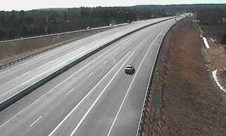
 Check it out, the New Hampshire Department of Transportation (NHDOT) has teamed up with TrafficLand to provide public access to highway cameras around the state. Click “See Live Traffic,” then pick which state and which city you’re interested in. Your choices in NH are: Claremont, Concord, Franconia, Keene, Laconia, Lebanon, Manchester, Portsmouth, Rochester and Salem. If you choose Rochester you will see a Google map on the top right hand side of the page with different colored lines which tell you how fast the traffic is flowing (green=normal, yellow=slow, red=slow or stopped). On the left hand side is the actual camera which will show you the different locations you choose. You can either click on the large circles marked on the Google map or click on individual camera thumbnails underneath. For Rochester on the date I looked the top choices were between cameras on NH-4@Cedar Point Rd, NH-16@Hilton Dr (Dover Exit 5), NH-16@Indian Brook Rd (NH-108), NH-16 n/o Rochester Tolls, NH-16@Roberta Dr. (Dover), NH-16 s/o Indian Brook Rd (Exit 9), NH-16@Tebbetts Rd (Roch), NH-16@US-4 (Dover Exit 6) and NH-16@Blackwater Rd (Roch). (Which cameras are included in the thumbnail area are the ones that are currently being viewed the most in that region.)
The Google map shows a larger region and you can click cameras up and down a corridor and see real-time snapshots of more than just the city you chose if you’re going on a longer trip. Great resource for when you’re heading out on the highway.
